FORT BAKER WATERFRONT
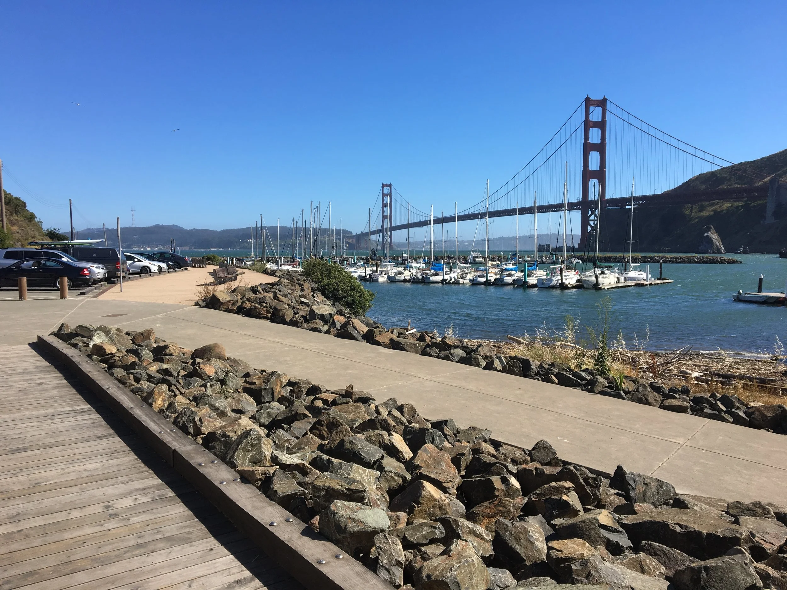
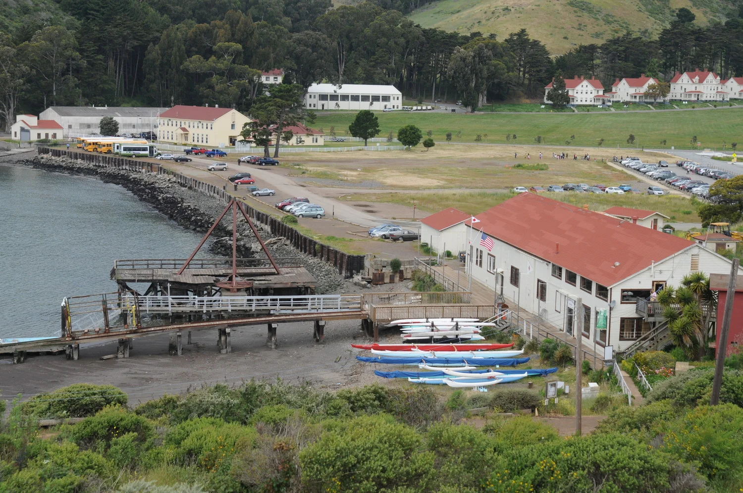
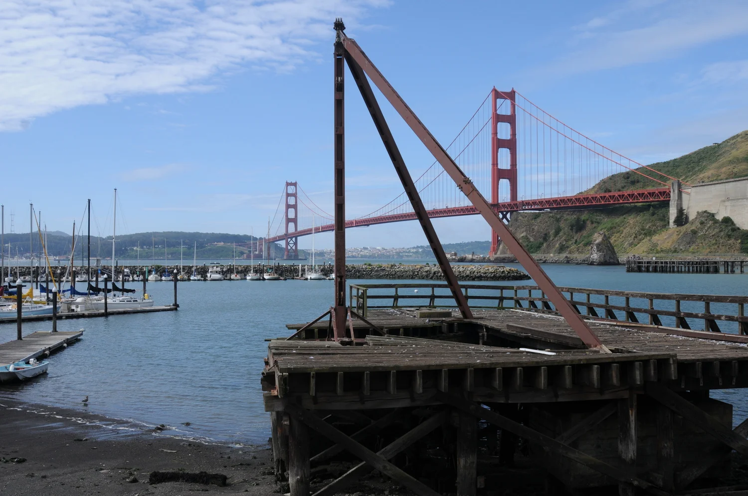
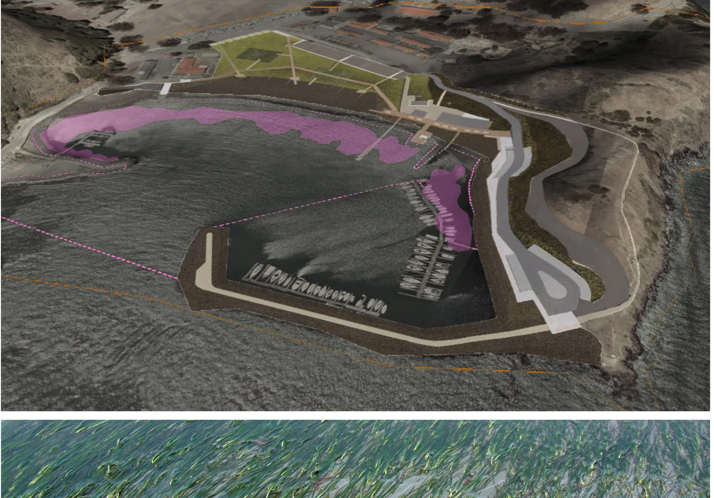
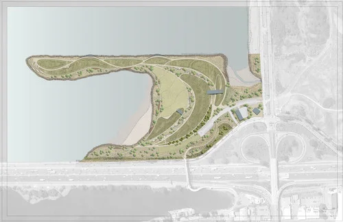
Fort Baker Waterfront is an adaptive reuse project on a historic decommissioned military site north of San Francisco, CA. The master plan integrates a strategically important World War II era military working waterfront within a sensitive natural environment as a public space for recreation at the north end of the Golden Gate Bridge.
TIMELINE
2007-2015
STATUS
Phased Implementation
SIZE
14.2 acres waterfront
Addressing the physical rehabilitation of a nationally significant cultural landscape, the plan engages specific interventions to leverage local dynamics of ecology and recreation to express relevant historic and future land uses. The master plan defines a vision to re-use original historic features, preserving the character of a working waterfront, while reframing the landscape to provide public access, recreation, and habitat restoration.
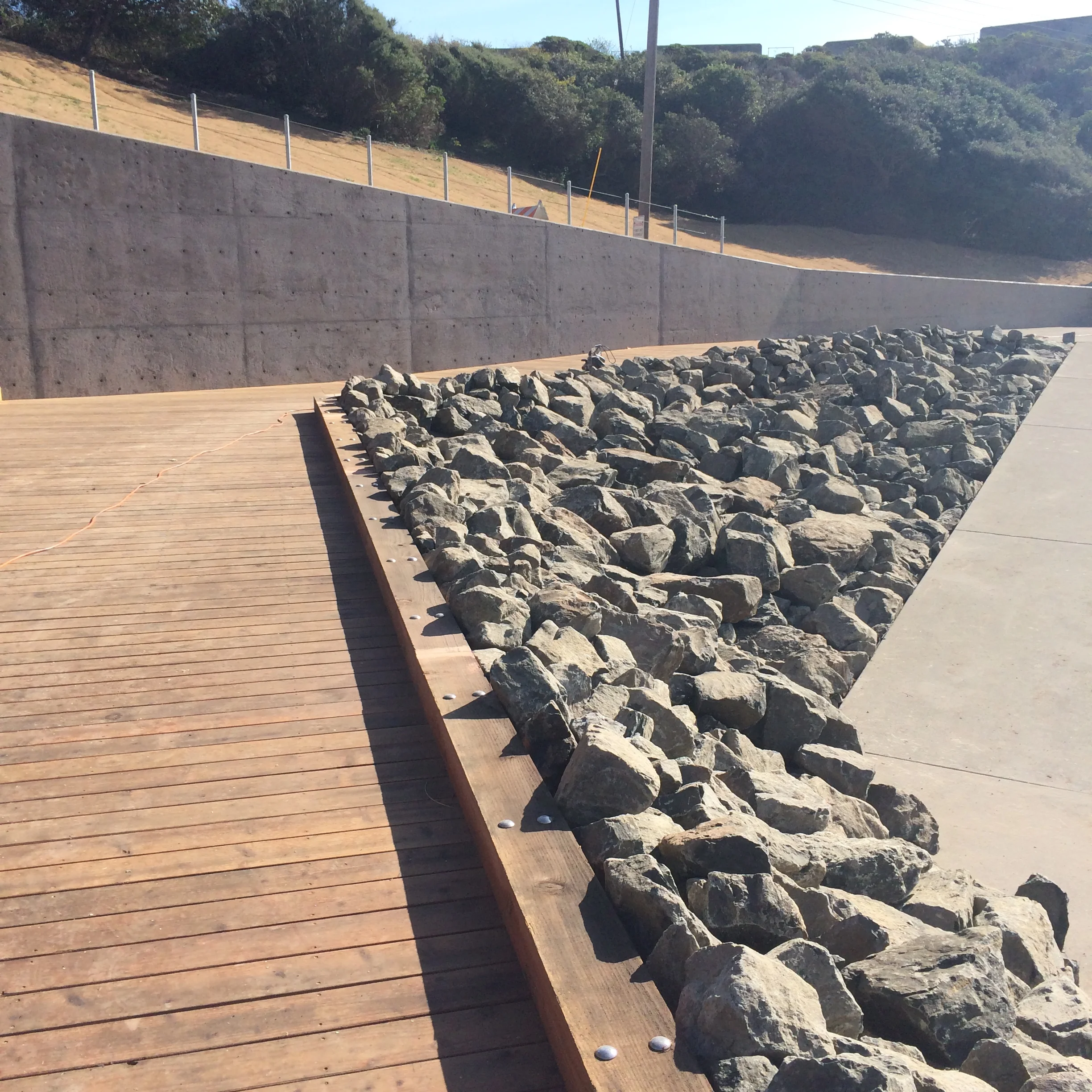
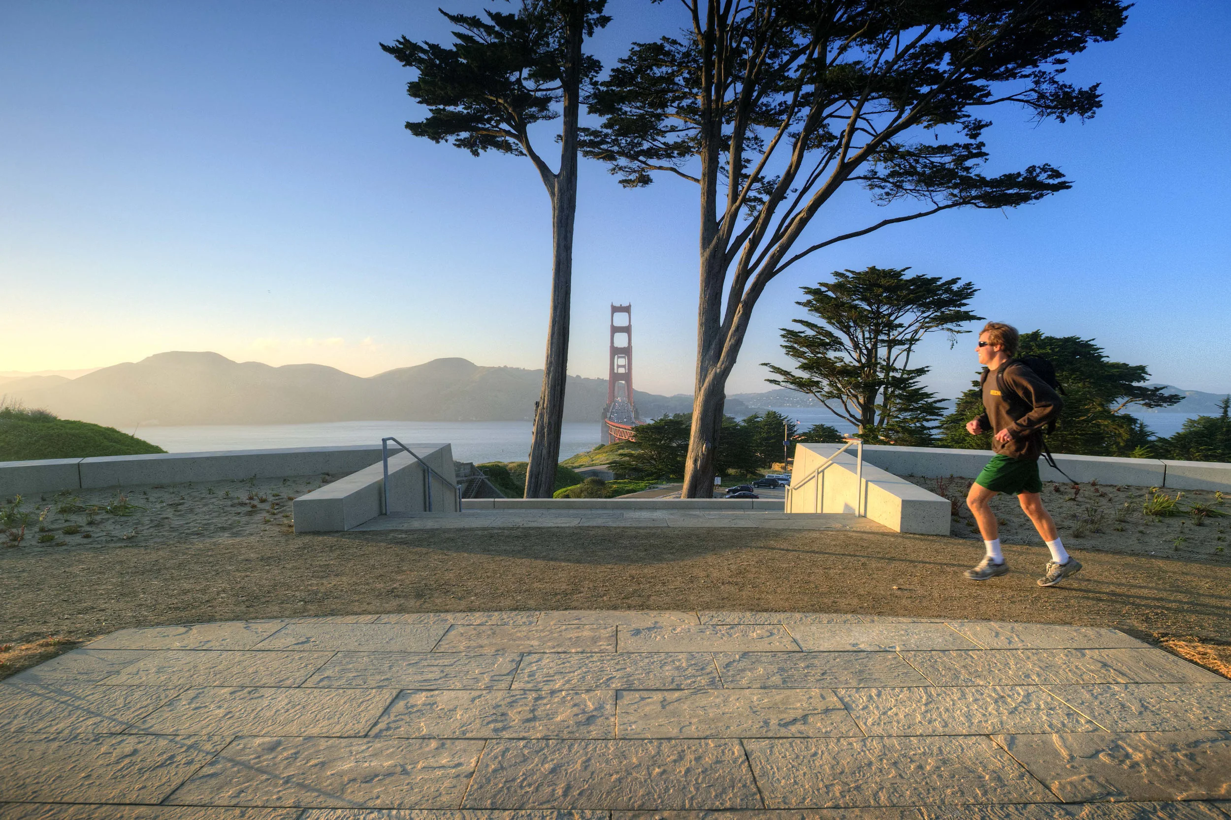
The plan proposes specific implementation goals to integrate the memorable cultural components of the sites past military use with natural features and contemporary recreational needs. The plan identifies a language of simple forms, expressive and respectful of the site’s historic and significant artifacts. This defines the visitor’s use of the water’s edge, specifically circulation, path, and perch.
The first phase of Saterlee Road is completed providing vehicular and pedestrian circulation along the edge of Horseshoe Cove and connecting visitors to the Boat Works.
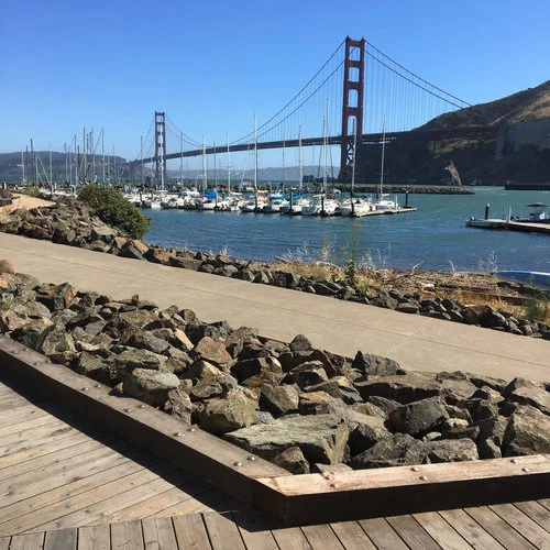
Steel, concrete, barrier rock riprap, and wood piers, all existing materials of the military era, are re-cast for new users.
Subsequent phases will reverse the disengagement of land and water and recreate a natural beach and meadows, reconnecting land to water and providing public access. The historic waterfront buildings will be re-purposed and house visitor amenities and a contiguous network of trails will complete the vision.
Client
NPS - Golden Gate National Recreation Area
COLLABORATORS
Kennedy/Jenks Consultants
GHD Inc.
PHOTOGRAPHY
Keith Scott

