
MISSION BAY MASTERPLAN

Mission Bay is a redevelopment district composed of 304 acres, formerly industrial land. It is prominently situated on San Francisco’s southern waterfront and bounded by one of the City’s primary vehicular gateways, the palm-lined Embarcadero. The site, originally part of San Francisco Bay, was filled over time becoming home to railyards, industrial facilities, warehouses and working piers much of it controlled by Southern Pacific Railroad. After a series of mergers and acquisitions one sole developer took ownership as the site’s master developer.
TIMELINE
1999-Current
STATUS
Phased Implementation
SIZE
304 acres (49 acres streets and open space, 17 acres Mission Creek Park North)

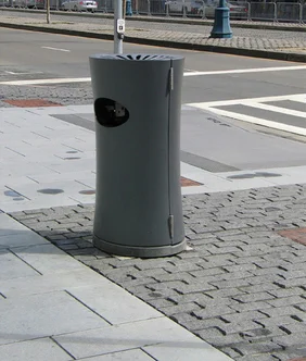
MFLA master planned Mission Bay’s open space and streetscapes, a total of 49 acres, in collaboration with the Olin Partnership, and then proceeded to develop the programming, design development, and construction documentation for the streetscape, mid-block mews, and park design along Mission Creek. This process spanned over a decade.
As a new district MFLA introduced the most current means and methods of detailing and construction; introducing structural soils in all of the joint trenches and streetscape installations, a fresh language of site furnishings, paving systems, and lighting fixtures. Street trees became a means of horticultural wayfinding distinguishing and scaling major boulevards, neighborhood streets, and midblock mews.


CLIENT
Catellus (a Prologis Co.)
Collaborators
San Francisco Redevelopment Agency
SF Port Authority
Olin Partnership
Army Corp.
BCDC
SF Arts Commission
SF Department of Public Works
PHOTOGRAPHY
MFLA


