WALKSTOP
Led by a San Francisco urban community volunteer group, the WalkStop concept was conceived by a City R+D event in the late Summer of 2010 with a small gathering of D5 residents with strong professional and/or personal interest in urban planning, the environment, safety and community identity. The concept won the Best Strategy from Good Magazine, who called it “feasible,” “relevant,” “inspiring,” “focused,” and “shareable.”
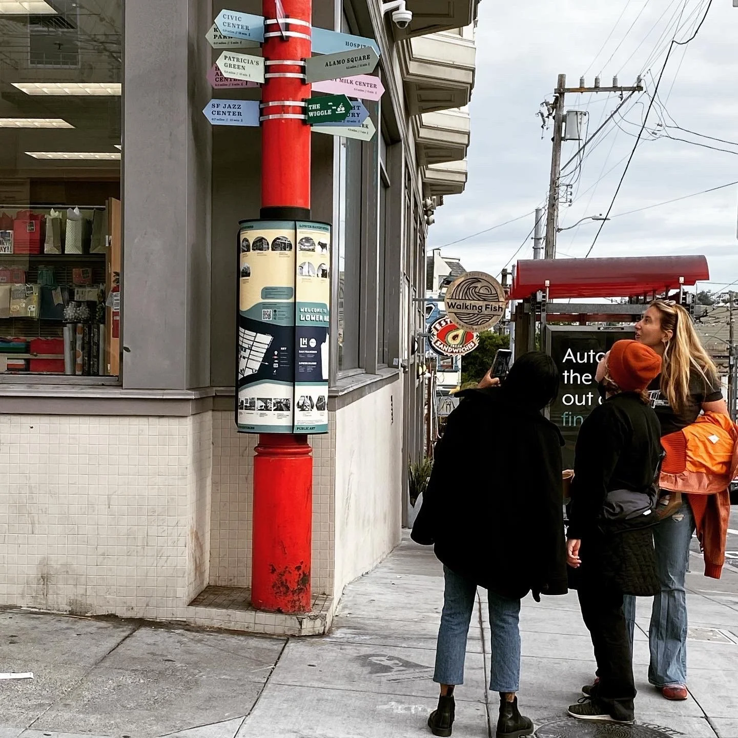
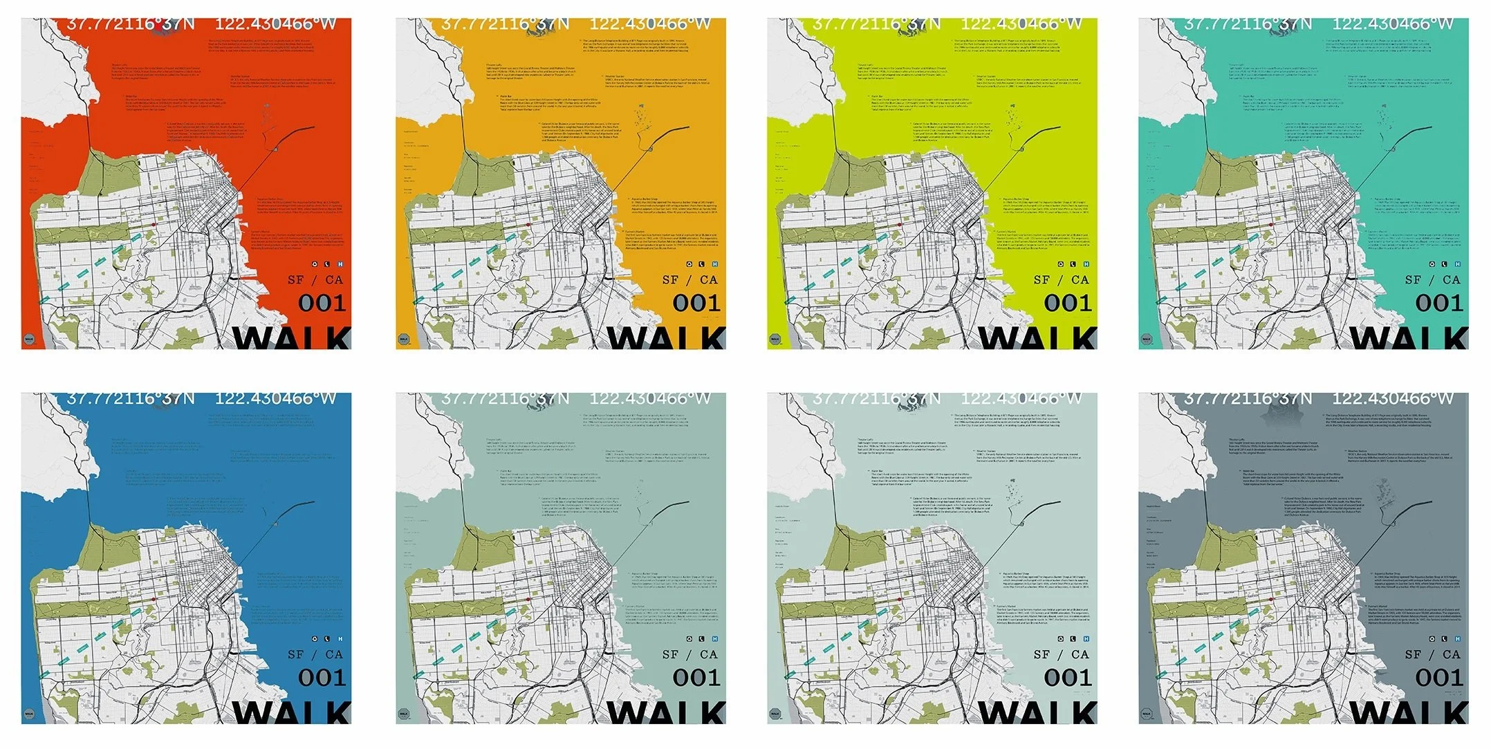
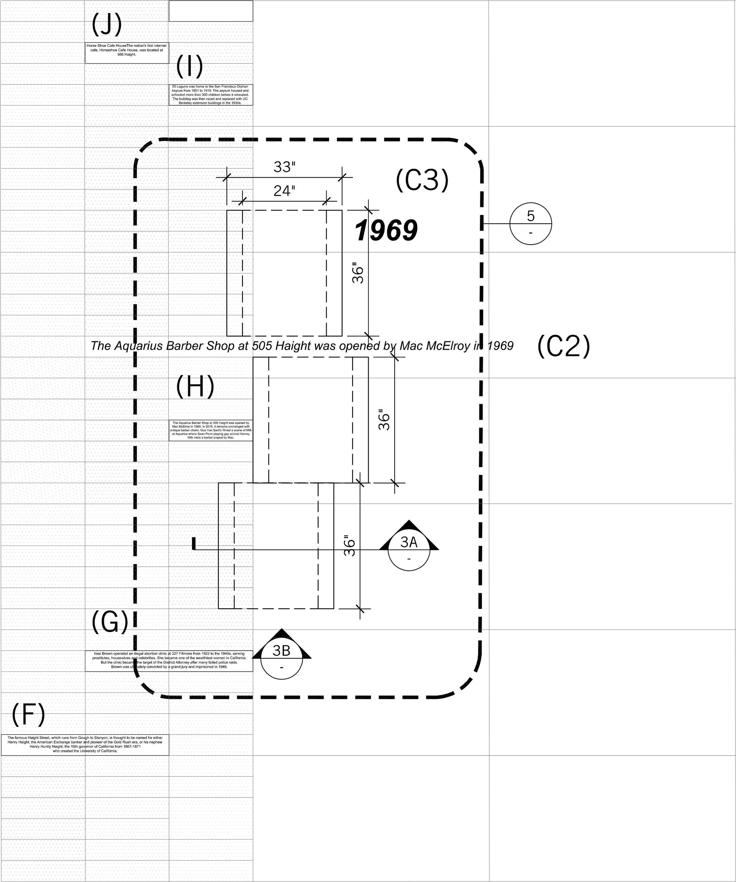
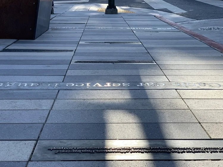
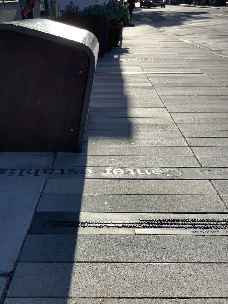
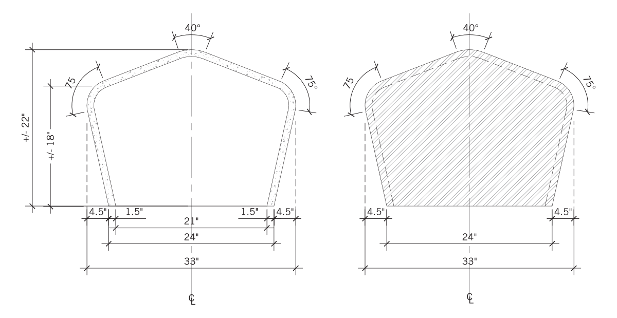
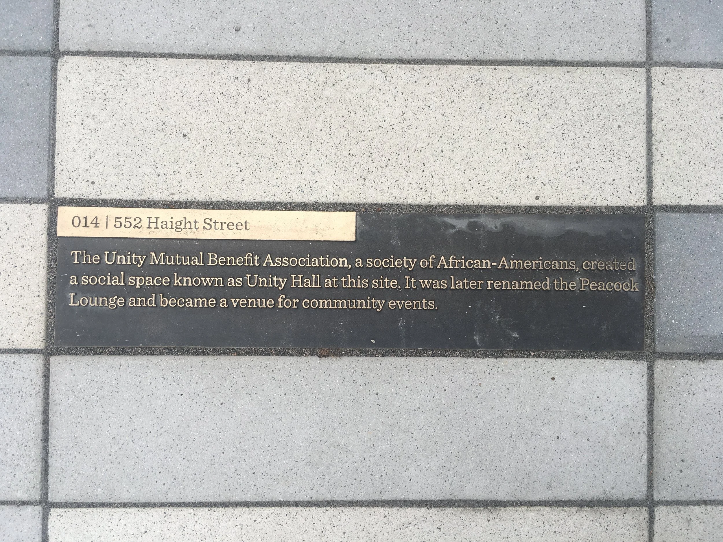
WalkStops goal is to locate the resident, merchant, and tourist in time and place to the neighborhood they are in using installations and considered landscape design elements like wayfinding signage, seating areas and inlaid sidewalk plaques that tell the rich stories of the unique areas within San Francisco. Oral histories from individuals who have lived in the district are accessible on wayfinding signage using a scannable QR code alongside proximity to interesting neighborhood sites, maps, compass & directional signs with distance. The Lower Haight district is the first completed permanent Walkstop, obtaining full support from the local community via transparent and inclusive methods of public engagement. with more installations being planned, encouraging walkers and cyclists to understand the interconnectivity of micro’hoods.
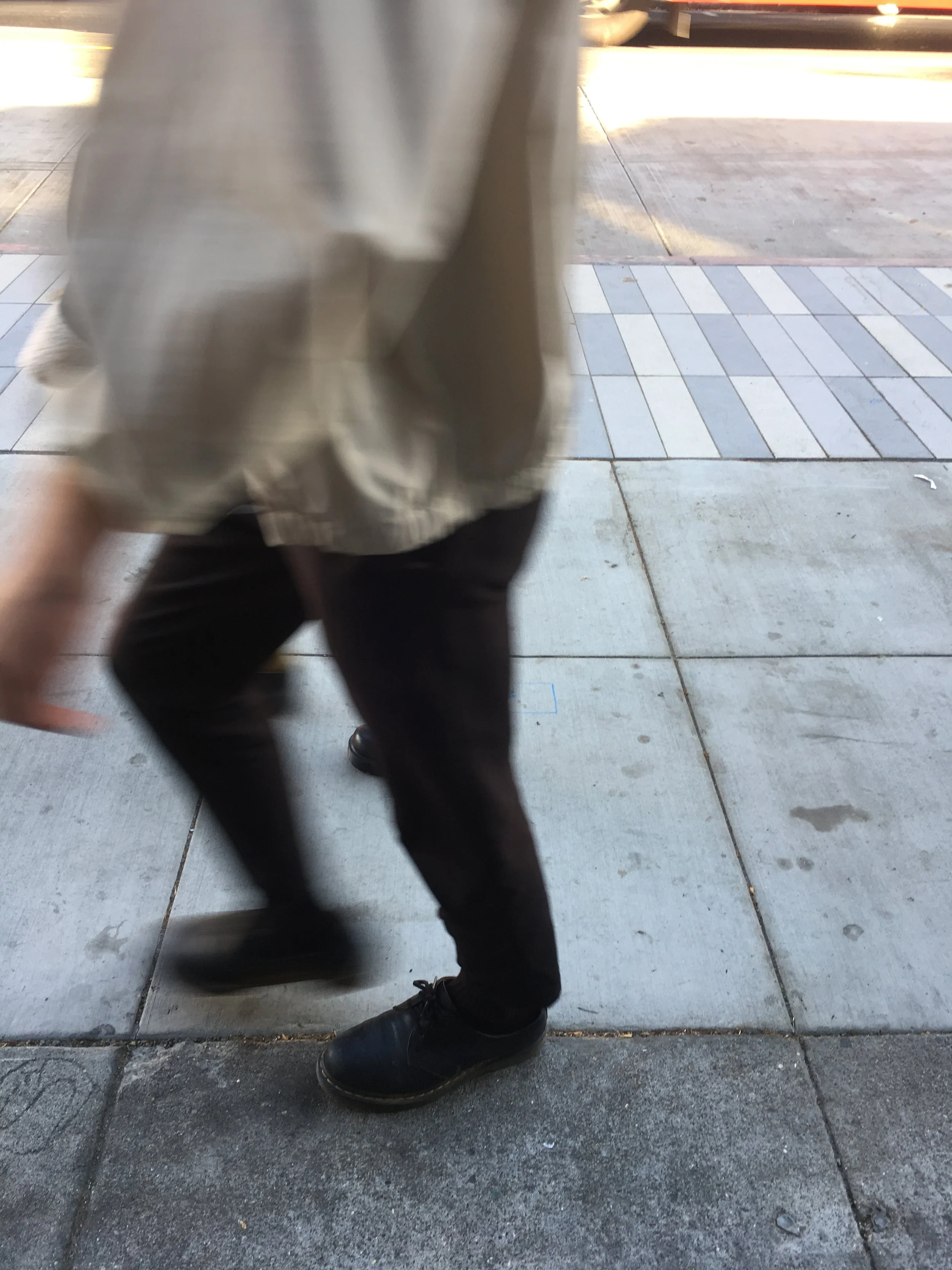
WalkStop brings the concept of San Francisco’s Better Streets Project to life, making a better City for pedestrians, bicyclists and public transit. Each WalkStop has a distinctive, yet unified streetscape that encourages walking, calms traffic, greens urban corners, and connects communities.
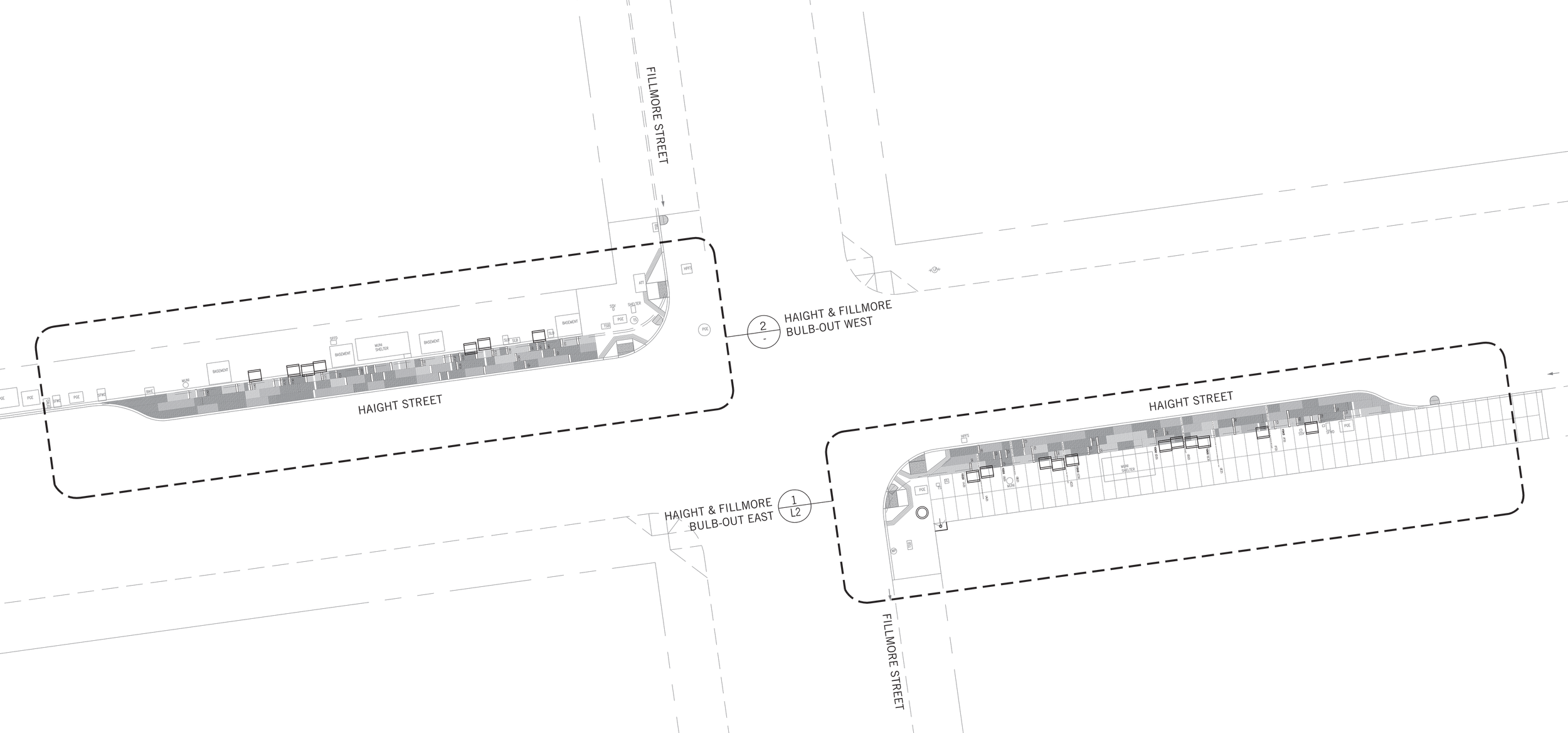
Projects under the Walkstop project include a temporary interactive wayfinding installation for parking day 2011, a pop up wayfinding installation on Haight Street, Duboce Park Walkstop proposal, and the completed wayfinding installation with streetscape improvements at Haight & Fillmore as part of the current MTA Lower Haight Improvement Project. MFLA’s Partner, James Munden, is co-founder and lead designer for Walkstop.
“This project will address a critical need for safe, attractive, innovative opportunities for the community to come together in the public realm.”
PHOTOGRAPHY
James Munden
